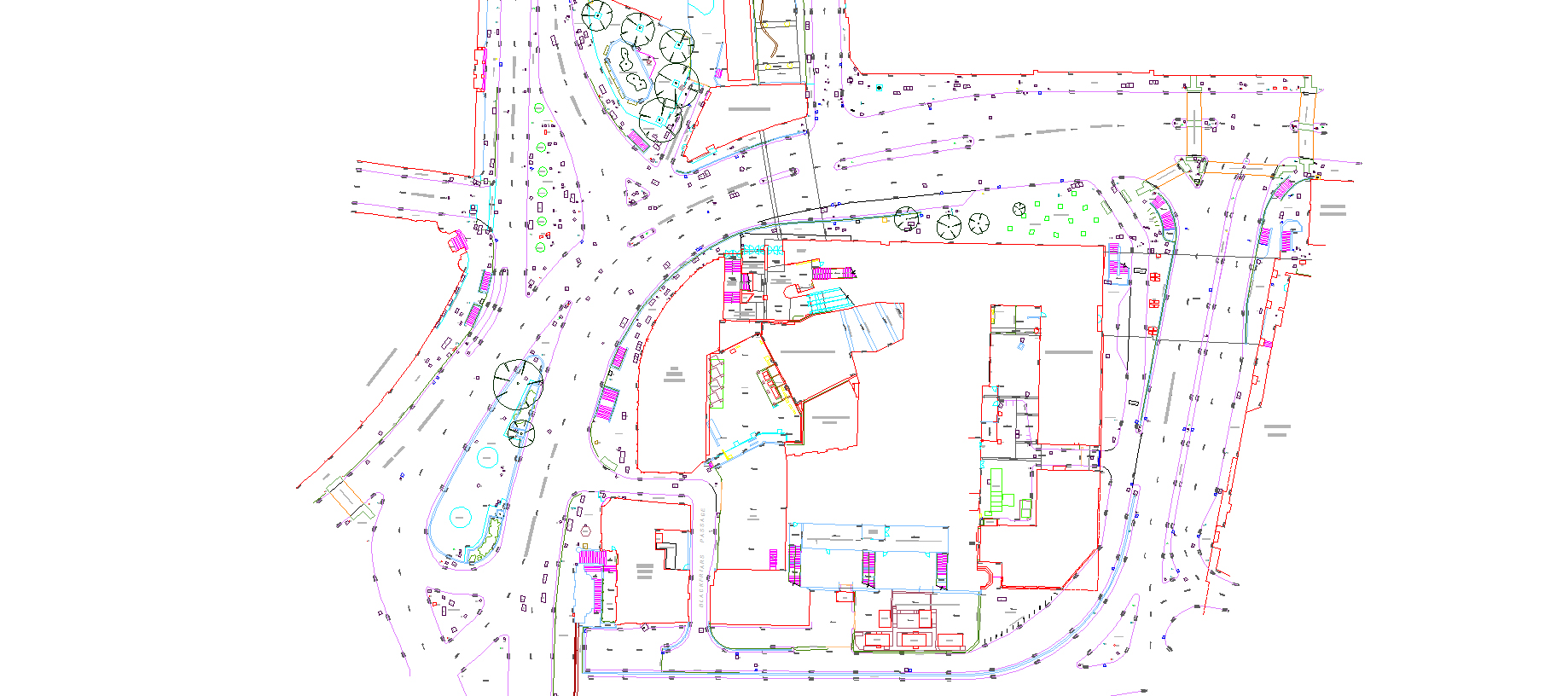
LAND SURVEYING
Land surveys are required when an area of land has a proposed change to its usage or ownership or to record national topographical features. All these surveys should be accurate, to the required scale and robust.
The traditional role of a surveyor has been to determine the position of features in both the natural and built environments, on or below the surface (sub-terrain) and to represent these accurately on a map, which is still the case.
Since ABA was founded in 1990, the associations with the term Land Surveying and applications have changed significantly but the basic principles remain the same; measuring distances, horizontal angles, vertical angles and height and plotting the results onto a map.
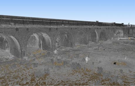
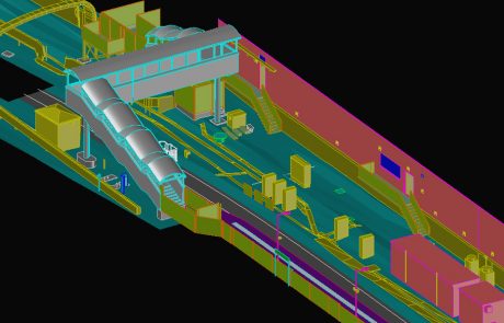
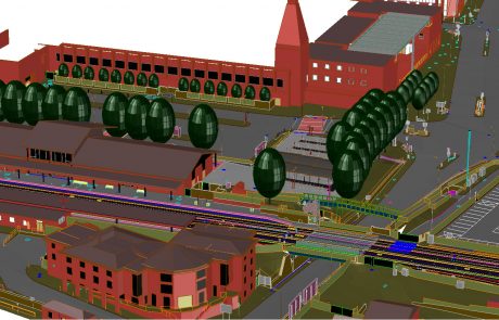
ABA uses skill and experience to bring solutions, not problems. We use the latest and highest accuracy equipment in the form of; Total Stations, GNSS, 3D Scanning, Mobile Scanning and Aerial Surveys.
A Land survey could also be a requirement for a new or existing building, railway or highway being built or re-built, a legal boundary dispute, verification of a multi-acre site boundaries, a building elevation survey, town/city modelling/remodelling, compliance with BIM Level 2 requirements, platform gauging and whole railway remodelling projects.
ABA provide solutions for all sectors:
Railways / Highways / Architecture / Buildings / Infrastructure / Heritage / Asset Management