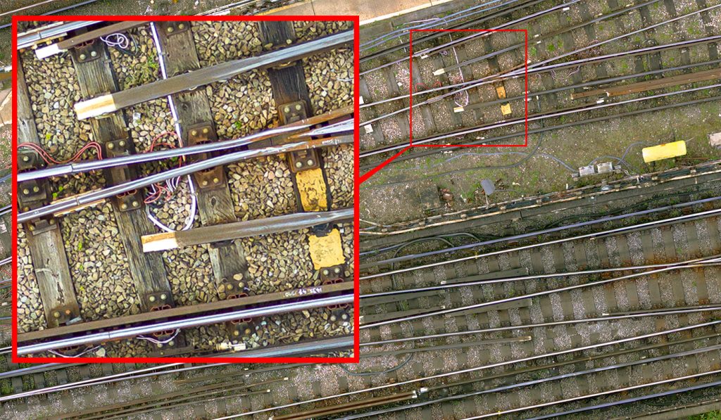
Aerial Photography
For large, difficult to access sites, or where boundary to boundary surveys are required, it may be preferable to utilise our UAV service which can provide high-resolution aerial photography. This can be offered as a stand-alone deliverable or combined with a terrestrial survey to get the best of both worlds.
We can provide aerial photography in the form of geotagged orthophotos. The image files can then be simply inserted into CAD & GIS packages.
We extract survey detail via photogrammetry to survey grade accuracy.