Project Description
M1 SMART MOTORWAY
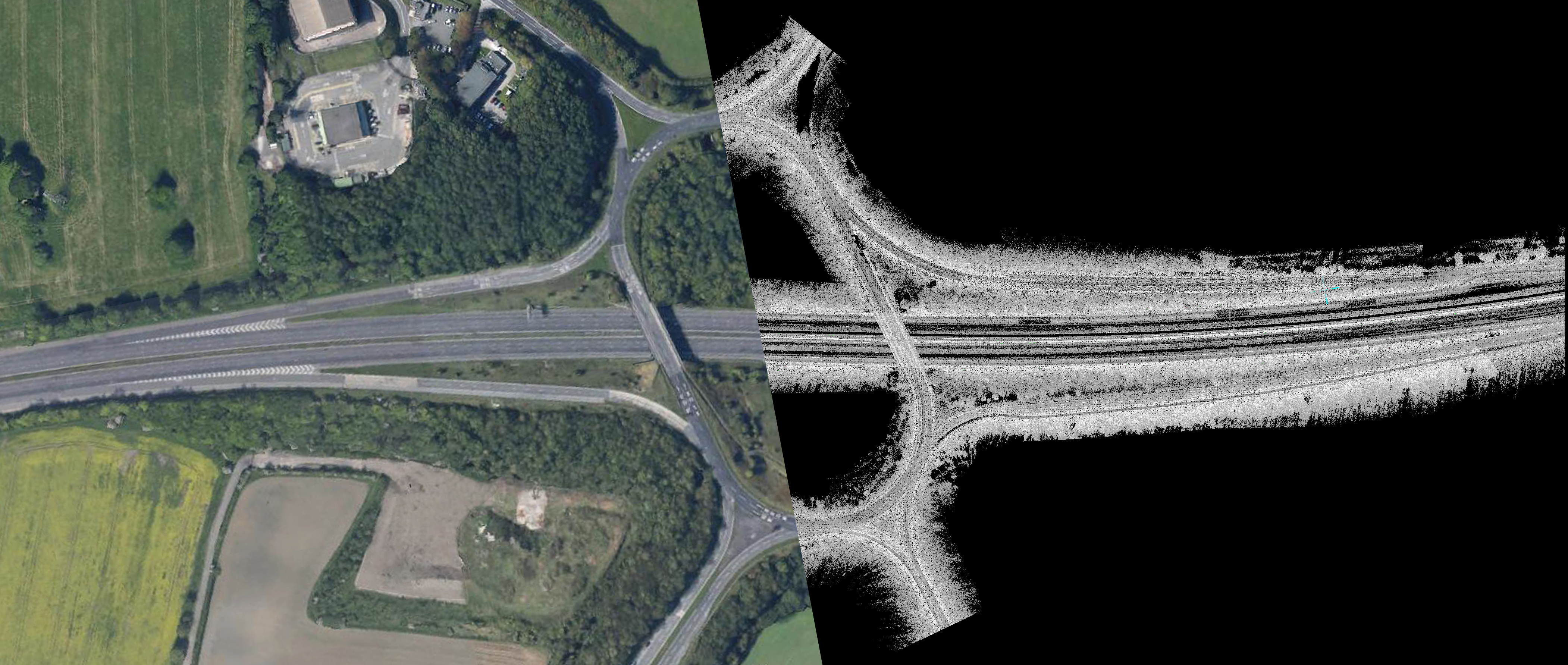
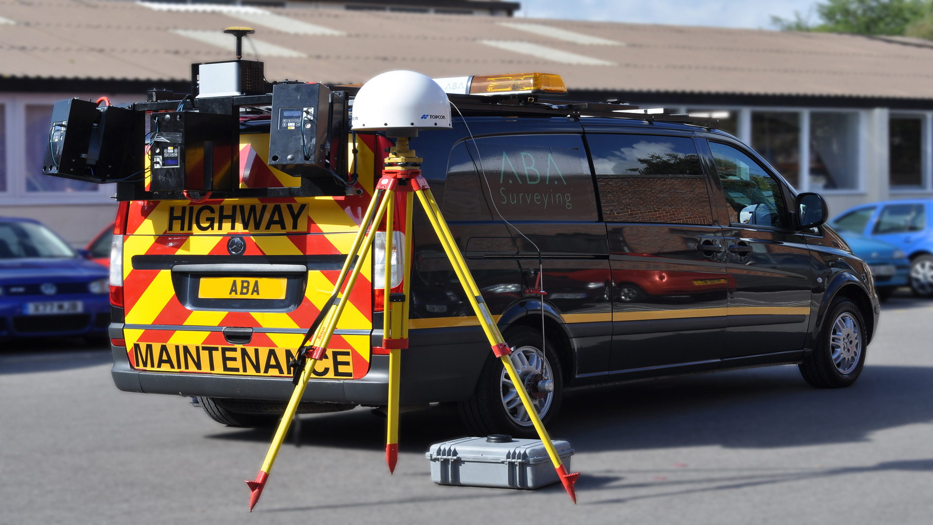
Part of a 30km Survey of the M1 near Sheffield carried out with our mobile scanning system which involved 2 passes on each carriageway, plus all the slip roads and junctions – an approximate total of 200km of road scanning. The system uses 3 Leica HDS 6000 scanners & collects up to 1.5 million points per second – 50% more than a Pegasus.
Using pre-marked control points and in conjunction with our in house software we were able to provide a 3D wire frame model with a 5-10mm absolute accuracy.