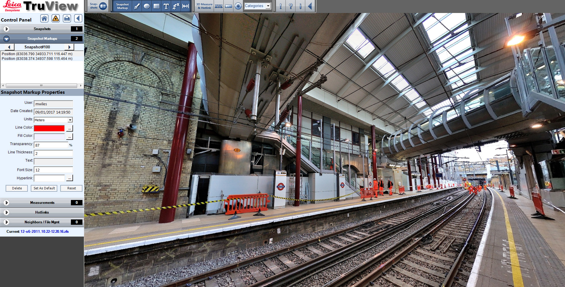
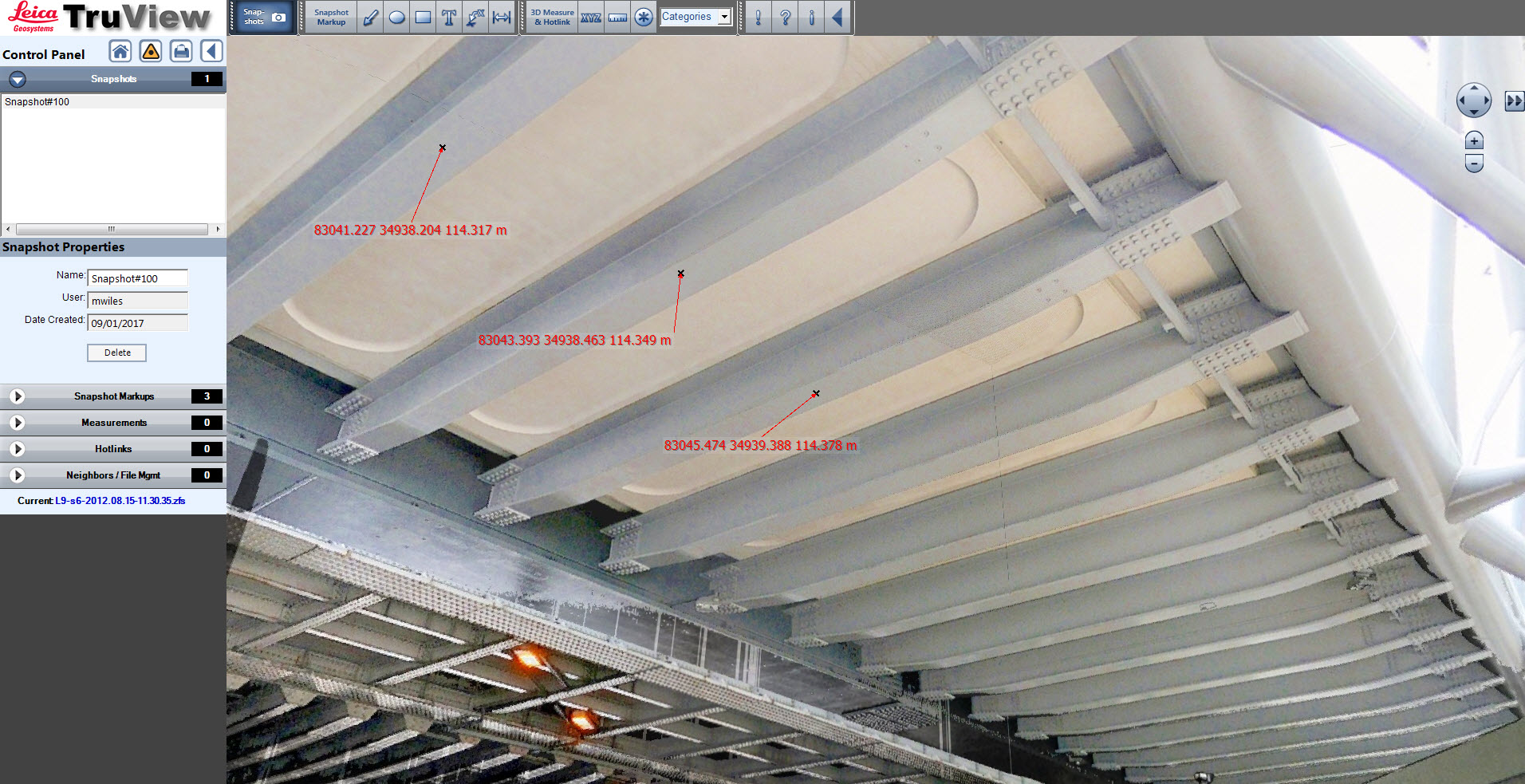
TruView
ABA Surveying can provide Truview files for visualisation, spatial interrogation and collaboration purposes.
A Truview is a high resolution 360 degree panoramic view of a pointcloud taken from a particular point. This is usually the scan location, although it can also be user defined.
Within the Truview you can take measurements, create mark-ups and add hot links to other files which can be shared between colleagues.
The main benefits of using Truview is that it requires no specialist software as it is Internet browser based and no specialist expertise in pointcloud processing software.